
Description
02
Intro
Difficult hike from the Jamtalhütte mountain lodge over the Getschnerscharte ridge to the Bielerhöhe
Description
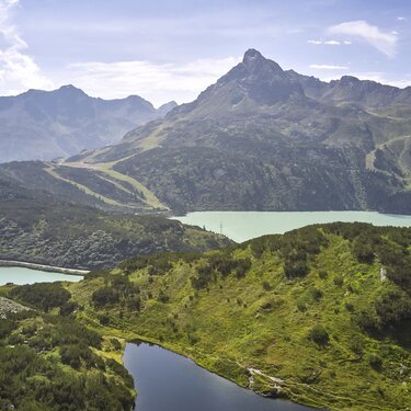
Starting from the Jamtalhütte lodge, the trail initially descends slightly along an easily accessible hiking trail and crosses the Jambach stream. The ascent then begins through steep terrain on a well-maintained path to Getschnerscharte. At higher altitudes, the path may still be covered in snow, especially in early summer. The descent is via the right-hand path down into the Bieltal valley and continues out of the valley to the Bielerhöhe. On the way, there is an impressive panorama with views of the Getschnerspitze at 2,965 metres and the Madlenerspitze at 2,969 metres.
Arrival
Parking
Public transport
With the railway station in Landeck, the Paznaun is optimally connected to the Austrian train network. From Landeck-Zams station, only a short bus ride separates you from the Paznaun. Every half hour, line bus 260 runs from there through the valley.
Bus stop: Bielerhöhe Silvrettasee
Buses in the Paznaun valley | Region Paznaun – Ischgl


